
The road wasn't too steep like it gets in the Rockies, but was so much fun to drive! There were a lot of blind turns with small elevation changes keeping me in 2nd and 3rd gear, and then it would suddenly open up to long hilly straights with beautiful views of the mountains, where you could pick up speed and feel your stomach drop over the crest of the hills. There was a little bit of fog and dew on the grass, and the air was crisp and cool.


Along the way, there were many small farms and tiny, quiet, picturesque villages. Cows and sheep grazed in the hills (some making their way to the road). Streams and small rivers wove their way through the villages toward the mountains in the distance.


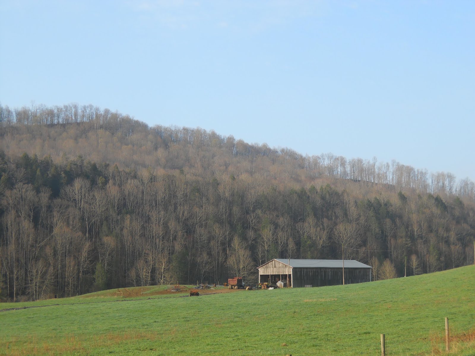


For someone who loves tractors, this was pure heaven! Almost every home had at least one type of John Deere tractor in the yard, some old and rusted, others bright and shiny. Some hiding behind tools in a shed, while others were assisting the farmer with his daily chores.

At the end of the drive I stopped to fill up on fuel, which hadn't yet reached $4/gallon, and noticed the dirt that had piled up on top of the GA pollen. :) Signs of a fun start to the day!!!

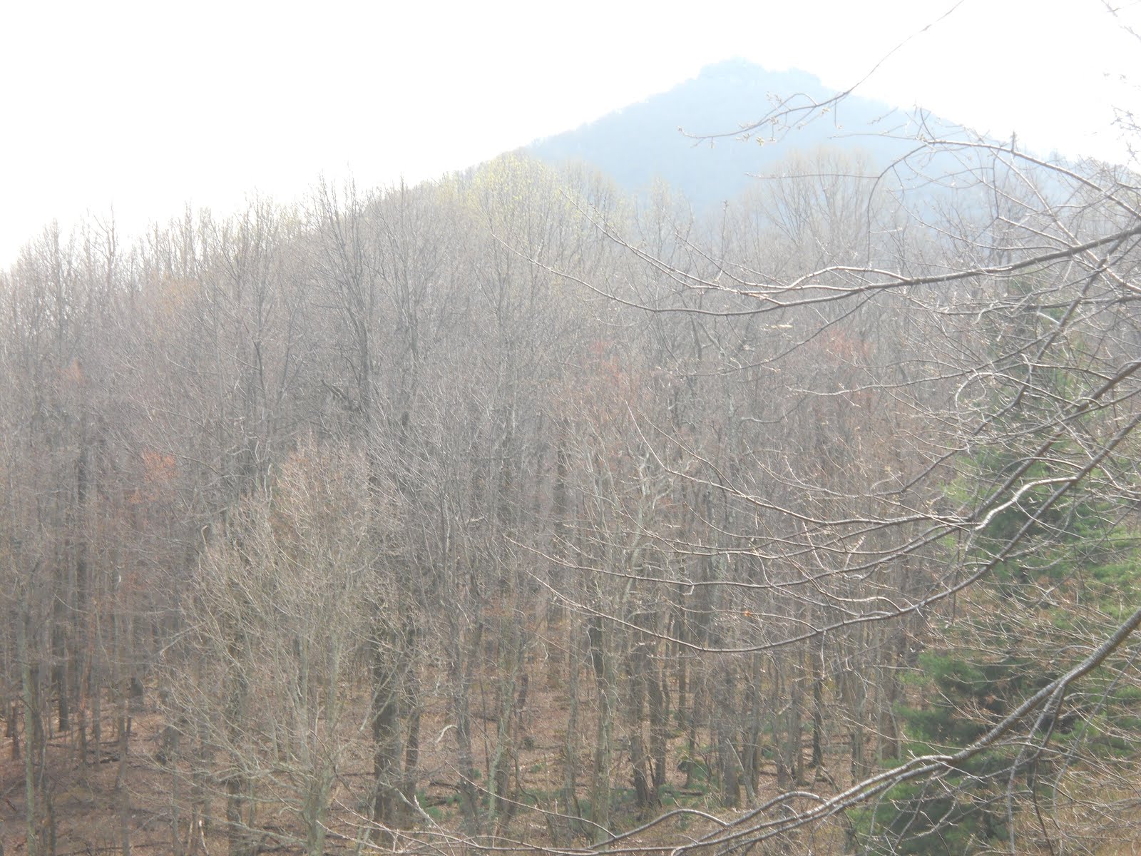
Mount Rogers is the highest peak in VA at 5729 feet. This is off of the Appalachian trail, and can only be reached by foot. I decided to take a hike up the mountain, and ran into a few young backpackers coming down the trail. They had spent several days hiking along the Appalachian trail and were looking forward to a nice hot meal and a shower. I wasn't decked out in hiking gear, but it wasn't more than a few miles. Unfortunately, there were no "lookouts" along the way, and only forest at the top. My body, completely out of shape, fought me every step of the way. My lungs burned on the way up, and my legs were shaking. Then on the way down, my knees started to ache, reminding me I should have brought walking sticks.


Once I finished the exhausting hike and beautiful drive, I returned to I-81 and made my way toward the Shenandoah Valley. My first stop was the National D-Day Memorial. Cherry blossoms were in full bloom and filled the air with a perfume fragrance.

The statue below is of Dwight Eisenhower who gave an inspiring speech to his troops:
"...Your task will not be an easy one. Your enemy is well trained, well equipped and battle-hardened. He will fight savagely. But this is the year 1944! ... The tide has turned! The free men of the world are marching together in victory! I have full confidence in your courage, devotion to duty and skill in battle. We will accept nothing less than full victory!"


Being in a nature mood, I decided to pull off onto the Blue Ridge Highway, which had more windy scenic roads and hiking trails. One of the trails I hiked was the Falling Water Cascades. The trail seemed steeper than it probably was as I was still exhausted from the previous climb, but well worth it. The trail was not always an easy one, but fun, as there were rocks, mud, and a fallen tree covering the path. The sounds of the water rushing past the rocks and the smell of pine filled my senses and made the journey to the waterfall much more pleasant.


The Blue Ridge Parkway had several scenic overlooks highlighting VA from different parts of the Appalachian Mountain range, including Head Foremost Mountain and Black Rock Hill.


Keeping with the nature theme of the day, my final stop was to the Natural Bridge and the Natural Bridge Caverns. Although Luray Caverns (which I did not go to) are more open (10 stories high) and "touristy", the Natural Bridge Cavern was more like a dark cave, and the deepest cavern in the East. A couple from New Brunswick accompanied me into the cavern. The small pond of water has a lot of clay in it; so much in fact, that if you step in it, you will sink to your ankles! Another picture is of a small bat that was in the cave - not the large scary ones you see in the movies. He was actually kind of cute! :) Also shown in the pictures is a large boulder that fell and got stuck in the wall.


Last but not least was the Natural Bridge. It is made of limestone and stands 215 feet high. This reminded me of the arches in Utah for some reason. It has a Budda on the left side of the wall, and George Washington carved his initials in the side of the bridge when he was surveying the land. You will also see a replica of the Monacan's village as they lived by the bridge 10,000 years ago! The cave-like opening with water is the Lost River. Legend has it that people tried for years to find the underground source of the water unsuccessfully. Also, the water that flows under the natural bridge comes from the Lace Waterfalls.
Thomas Jefferson said: "So beautiful an arch, so elevated, so light, and springing as if it were up to heaven, the rapture of the spectator is really indescribable! It is the most sublime of Nature's works."


No comments:
Post a Comment