

The Great Platte River Road Archway Monument indicated I was getting closer to North Platte, which would be my first destination.

Just before hitting North Platte was the Fort McPherson National Cemetery, which had grave sites for all 5 branches of the military from a number of wars.


On the way to North Platte (and throughout Nebraska) there were countless cattle farms with thousands of black and brown cows. Some were clustered together, others were on hills, and some seemed to spread out for miles. Cows were taking care of their newborns, munching on grass, sleeping under the shade of trees, and rolling around on their backs to scratch an itch. I thought of Angelo from Toronto, and his cattle farm. :-)


Viewing the Veteran's Memorial was a beautiful start to the morning a good way to continue remembering all those who served.


Cody Park was my next stop, named after Buffalo Bill. The park would be a nice place to take children as it had a beautiful petting zoo and lake with geese, swans, and ducks. The entrance/exit was a memorial as well.


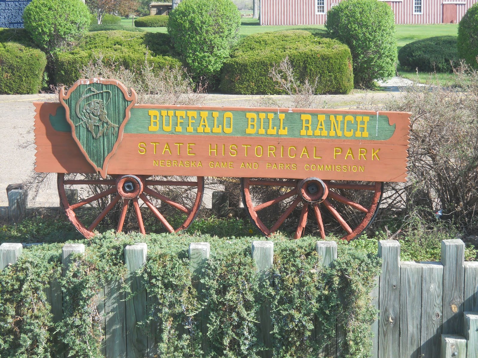
I wanted to see the famous North Platte Canteen and Lincoln County Historical Museum, but both were closed for the season. However, the Buffalo Bill ranch was open. William Cody (Buffalo Bill) was one of the most famous people in Nebraskan history. He came to Nebraska in 1869 as a guide and scout for the 5th Cavalry. He was also a guide for the rich on buffalo hunts. In fact, he got his nickname by killing over 4000 buffalo!!!! He first went on stage in 1872 and in 1883 formed his first "Wild West". He was into ranching and farming as well, and helped develop irrigation. Buffalo Bill actually is in the Nebraska Hall of Fame! Scout's Rest was built for Buffalo Bill in 1886 as a place to relax between tours.


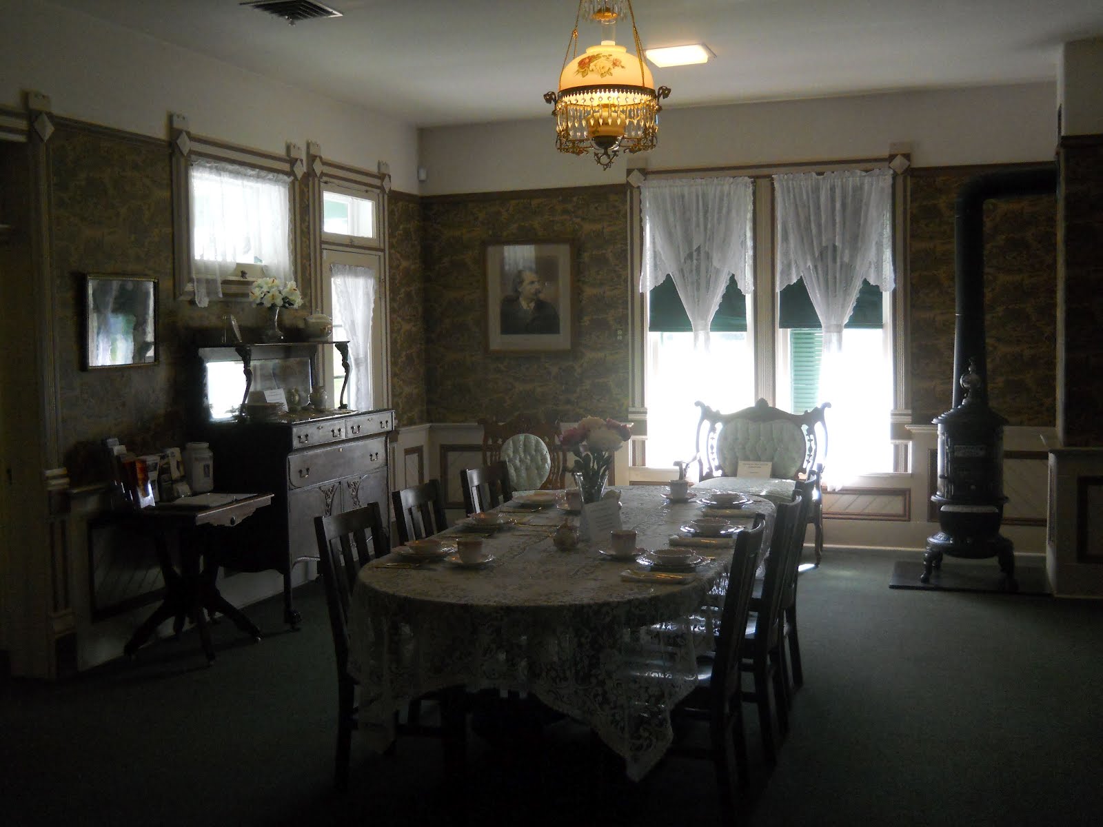


In the barn, I asked the old woman working there if she would be kind enough to take a picture of me on the little kid's saddle by the picture of Buffalo Bill. She looked to be approaching 90, and about 10 minutes later, she figured out how to use the camera (I believe it was her first time). She was a sweet woman who gave me a piece of candy before leaving. :-)

After that, I went over to the Golden Spike Tower to see the big railway station. The railroad helped give Buffalo Bill his famous name as the buffalo he killed were mostly for those building the railroads. However, it was also the end of his career. Buffalo Bill's train pulled out of Charlotte, NC in 1901 heading north on the one main line. Unaware that Cody had 3 trains for his group, the engineer of a southbound train pulled onto the track after his first train passed. The head-on collision killed 92 of his 110 trained horses. Even though he went back on stage a year later, it was never the same.


Ed Bailey started in Cheyenne, WY, and helped build the world's largest rail car classification yard as part of the Union Pacific, called the "Bailey Yard" in the North Platte.


In the city of Ogallala was Mansion on the Hill (closed for the season as usual). This is where Cowboy Capital was, named after the Ogalala (not a spelling error) band of Dakota Sioux. As can be expected from a true cowboy town, gold and money flowed across the poker tables, liquor was drank in large quantities at the bar, and blood was often found on the floor from fights.
Also in this area is Boot Hill. Not a very attractive sight, this is the final resting place for many westerners (cowboys, settlers, and drifters) from the late 1800's who helped make it cowtown. Mrs. Lillie Miller and her baby were the first ones buried here. "Rattlesnake" Ed was buried here after being shot over a $9 bet in a Monte game in a local saloon. Many people were buried with their boots on, hence the name "Boot Hill".


The scenery started to change out west as there were rocky hills just before the North Platte River. There were also a number of wheat fields.


Part of this area consists of the Mormon Pioneer Trail, which followed a very similar route that I did from IL to CO!

There were rattlesnake signs everywhere, so I put on my cowboy boots for extra protection and headed to Chimney Rock. I did hear a couple rattles off in the distance (which I admit could also have been the grass/wheat whistling in the wind), but hard as I looked, I found none. Despite what most of you think, I was a very good little girl and always stayed on the trail. (In part that is because I didn't want to accidentally step on one and get bit since my phone didn't work in northwestern Nebraska and there were no other people around. The closest I came to finding a rattlesnake were the few stuffed dead ones on display. Oh well...


The Chimney Rock National Historic Site was a gorgeous rock formation that initially came from a volcano and years of erosion, shaping it. Chimney Rock is 325 feet from base to top and the chimney part is 120 feet.


Here are some pictures from the old west of Chimney Rock.


Famous people from 1812 passed by Chimney Rock.

Contrary to popular belief, most people walked the trail from east to west. Far fewer rode horses or sat in over crowded bumpy covered wagons. Many of them walked about 1500 miles. Could you do that?


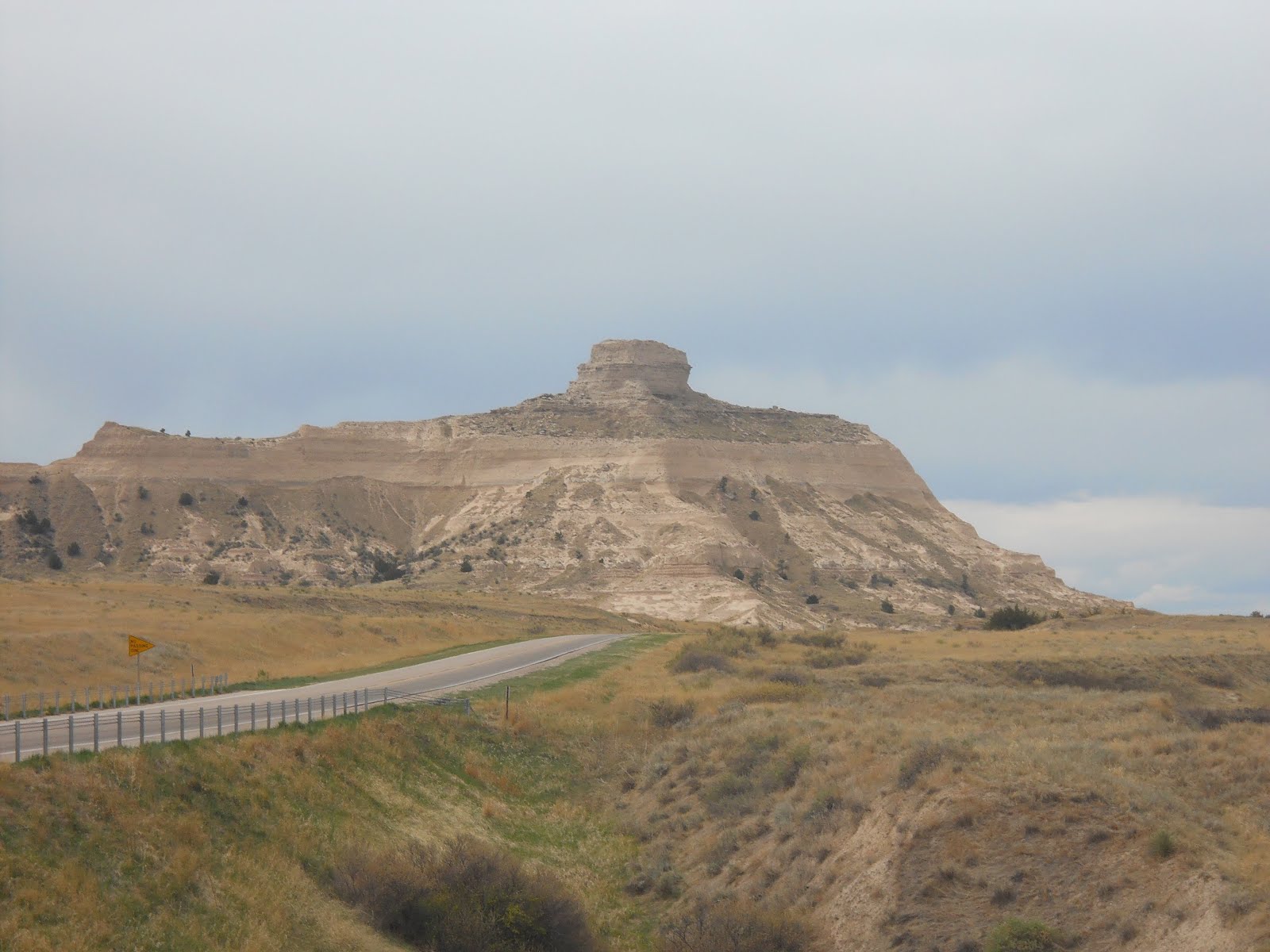
Scotts Bluff National Monument was next. This reminded me of UT and CO and was one of the most beautiful parts of the journey thus far! It's a famous landmark on the Oregon Trail, and was one of the first mountainous areas they passed through after miles and miles of great plains. This spectacular fortress was not only impressive to look at, but served as a barrier to those who had covered wagons. Despite the obstacle, the pioneers found a 1.6 mile path through to the other side. When the military had to pass through many years later, they decided to blast through the rock 3 times to shorten the path, despite the cost. Ironically enough, when measured, that path was also 1.6 miles, meaning it was a complete waste of time and money. Imagine that! Our government wasting money! It started in the late 1800s, and I'll leave it up to you to decide if we've improved since then. LOL


I hiked a trail to get to the North and South Overlooks. Beautiful!! :-)


You've probably heard of the "Pony Express". This is where the more daring explorers raced from Missouri to California in 10 days on horseback. "...nearer and still nearer, and the flutter of the hoofs comes faintly to the ear - another instant a whoop and a hurrah from our upper deck, a wave of the rider's hand, but no reply, and man and horse burst past our excited faces, and go swinging away like a belated fragment of a storm!" -Mark Twain


Here is the first cactus I saw! Anna, can you figure out from the Desert Dome what this is??? :-)

And here is the Scott Memorial up on the rocks.

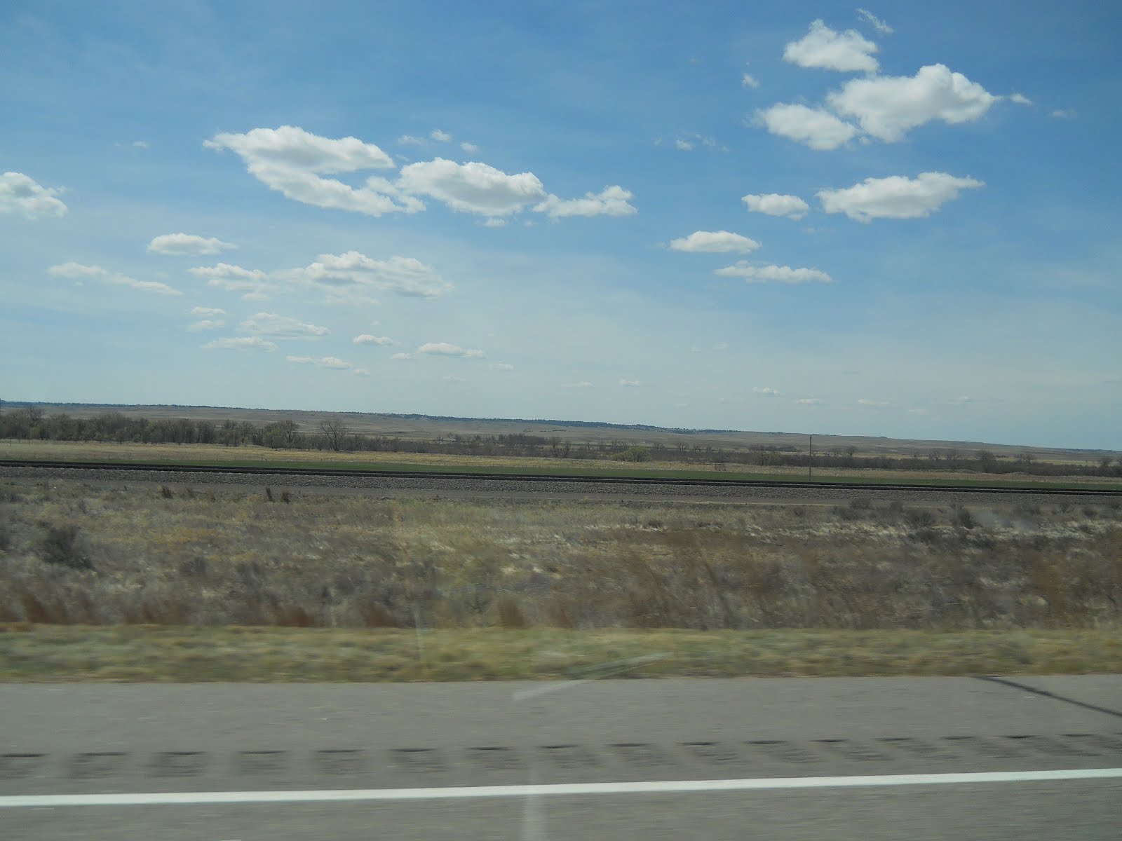
There was very little traffic, other than a few tractors occupying the road. In fact, sometimes I went 10+ miles without seeing another car!!


The clouds were rolling in and the wind was picking up. It was about 3 PM and time to head out to the last stop, about 45 miles north. I hit a milestone along the way - 8000 miles on the trip!! :-)


Here is Agate Fossil Beds National Monument. This consisted of a 1 mile trail and a 2.6 mile trail. I continued looking out for rattlesnakes, but didn't find any. :-(
The first trail is the Daemonelix Trail. The rock formations are 19-22 million years old! In the rock I saw the fossilized burrows of prehistoric animals and evidence of the ancient grasslands.


You (like I was) may be wondering what in the heck is a Daemonelix? Sounds like a strange type of dinosaur! It's actually a giant sandstone spiral found in the hills. The name means "devil's corkscrew" and they were created by ancient beavers!


Bone Cabin is at the bottom of the second trail. Harold Cook built it in the early 1900s. It was the base for conducting excavation digs. Some of the top paleontologists worked with Harold in the Bone Cabin.


There were different plants that I saw - some interested me more than others. There were also some red ants, spiders, inch worms, and beetles that I crossed paths with. :-)


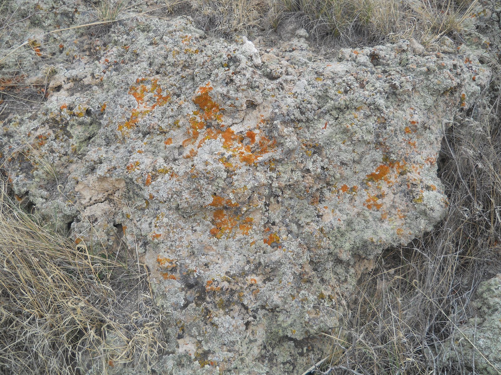
Lichen
There was Broom Snakeweed (but still no snakes).

I remember getting my pants and shoes full of prickly lettuce growing up...

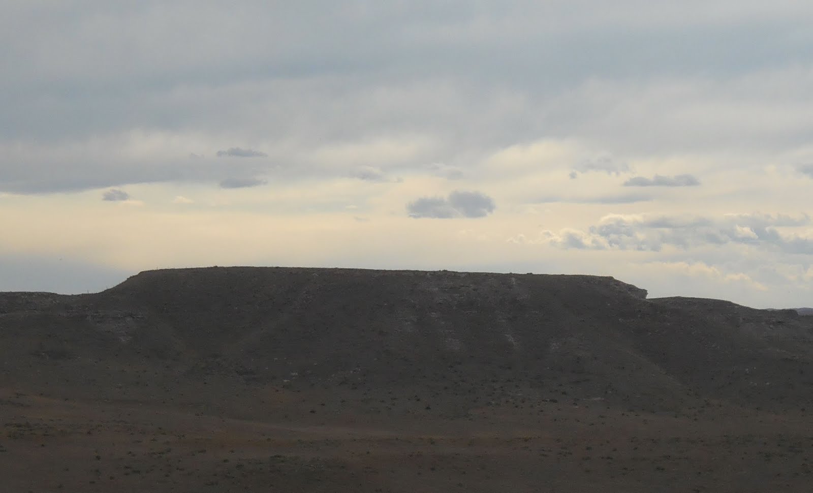
The 2nd trail that I went on had 2 hills. One was called Carnegie Hill, which reminded me of Shelly and when she sang at Carnegie Hall. :-) The other was University Hill. It was a watering hole, and some of the animals were ancient camels and rhinos! You will also see some great shots of the clouds as the sun competed with the rain and tried to poke through.


You can see that in the summer time, this area (although desert) is also a wetland (hence the watering hole).


Finally, I went into the museum of bones and dinosaurs. Some of the tools used in the excavation process looked like a lot of fun to use! :-) You can also see pictures of the excavation process.


The age of the waterhole bone bed (the rock full of bones) was determined by comparing it to volcanic ash 25 miles north. It's over 19 million years ago!


As you can see, the museum also had an Indian exhibit as they also lived in this area.


On the way back down to Cheyenne, which is where I stayed for the night, the clouds got thicker and darker, but as the sun dropped in the sky, it made a beautiful orange.


Then, the clouds were behind me and the sky opened up in front of me with sun once again. You can see the dark storm clouds in my side mirrors, which never caught up to me while driving thankfully! :-)


No comments:
Post a Comment