
My friends had mentioned stopping at Powell's book store, so that became my first stop. I parallel parked a few blocks away and put a dollar or two worth of quarters into the meter, and then walked to the store. After looking around through their color coded sections, I didn't find what I was looking for, so I asked. Apparently, they have a second building a block away, and THAT is where the car books were hiding. :-) I wasn't going to buy anything - I swear I wasn't! But...as soon as I started browsing through some of the books, my self control vanished... Carroll Shelby had just passed away, so I picked up his Biography. Then I got "Fords of the Sixties" and "American Horsepower". I thought for sure I was done at that point, until my eyes ran across "Le Mans - The Official History of the World's Greatest Motor Race 1960-69". This was not a cheap book, but that was my favorite decade in auto racing (though the 50's are a very close second). Finally, I picked up 'The Encyclopedia of Classic Cars from 1890 to the Present Day." I needed one more book to fill the bag. :-) These books will go nicely with all my Ford GT and other car books back home in WI...


When I left the bookstore, I not only exited a different door than I came in, but I was in the second store, which was on a different block from where I first went into the first store. Needless to say, I had a little bit of difficulty remembering what street my car was parked on. Luckily, I have an excellent sense of direction (in other words I got darn lucky) and found it pretty quickly.
The next stop was only supposed to be a mile or so from there, but I drove up and down the road and could not find the road to turn off. After asking someone, I figured out that I had to follow the signs for Washington Park to reach the famous rose gardens and Japanese Gardens. There was a steep winding hill to climb, and then a few parking lots on two different levels following the road.
The first stop was the Japanese Garden. There were a number of beautiful plants, streams, and decorations.


After the Japanese Garden, I walked over to the famous rose gardens. These were spectacular!!!! (And free!) Every type of rose, every color imaginable.


"The kiss of the sun for pardon, the song of the birds for mirth, one is nearer God's heart in a garden than anywhere else on Earth." -Dorothy Gurney


"Of all flowers, methinks a rose is best." -William Shakespeare


After the gardens it was time for some more scenic roads, and what better than the Historic Columbia River Highway (Hwy 30) overlooking the Columbia River Gorge and some beautiful waterfalls!
There were a couple of overlooks - The Women's Forum (Chanticleer Point) and Vista House. The black splotch in the middle of some of these pictures is from an occasional defect in my camera. I thought I would need to buy a new camera after spending hours trying different things to clean the lens and get rid of the spot. Later in the day after downloading all of these pictures and deleting them from the camera, the splotch went away. Unfortunately, as you will see in later pictures, the black splotch (or splotches) show up from this point forward at different times and in different places.


I started to drive up Larch Mountain Road, where you can supposedly see all 5 of the big volcano peaks (Mt Hood, Mt St Helens, Mt Rainer, Mt Adams, and Mt Jefferson). However, this road was only partially plowed and closed 1/2 way up, so I had to return without the view...
This is Latourell Falls, the first waterfall along this path. Some of the waterfalls require long hikes to reach their beauty and others can be seen along the road...

This one is called Shepperd's Dell falls.

Bridal Veil Falls was the next waterfall. The Bridal Veil Falls trail was about a mile each way - a steep downhill climb with several switchbacks.


"Water, in its many forms, provides some of the earth's most beautiful landscapes. Rivers, lakes, and coasts all offer images of scenic beauty, but undoubtedly waterfalls are the most impressive." - Gregory Plumb

When I climbed to the bottom of the falls, there were several people there with a massage bed and fancy camera looking like they were in the middle of a photo shoot probably for a new spa opening up.

Here is an overlook of Cape Horn, which I will ride up and look over when I get to Hwy 14 on the other side of the river. Cape Horn is really the only place to get photos of the other side.


Also across from Cape Horn is Wahkeena Falls.

Multnomah Falls is the most popular waterfall along this route, and is our nation's second highest year-round waterfall. It is most spectacular to view in winter and spring. It drops 543 feet to the upper plunge pool, and then another 77 feet, for a total of 620 feet!!

The area around it is called the "blazing gorge" because of a man-made fire that occurred on the cliffs by Multnomah Falls on 10/9/91, which burned for 6 days.

Water sculpts the walls of the Columbia River Gorge. As water flows into tiny cracks in cliff walls, it freezes and thaws, wedging the rock apart. Over time, large chunks of the cliff come hurtling down. In 1995, a bus-sized piece of basalt fell from behind this waterfall into the pool.

I climbed to the bridge to get these views. The one directly below is looking over the edge of the bridge at the water fall as it falls to the pool below.

This view is straight across from the bridge. You can see the river, gorge, and canyon beyond...

At Horseshoe Falls, I got to walk through a hole in the wall. :-)


I wanted to go over the Bonneville Dam, but it closed at 5 PM. It was 5:02. I asked the officer by the gate if there were any other places to view the dam and he said no, that I'd have to look at it on line or come back tomorrow. He lied. As I later found out, there were plenty of great views of the dam on the other side of the river. You will see this in a little while. However, while down by the dam, I went to the Fish Hatchery to see the sturgeon. There were not a lot of fish in the water, but the ones that were there were a nice size!


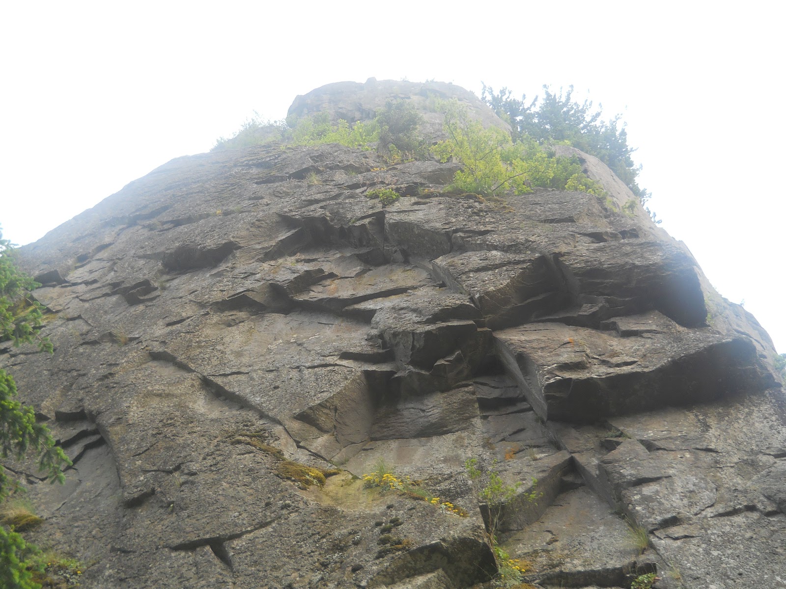
This prominent monolith is called Beacon Rock, named by Lewis and Clark as they trekked by it on the famous Oregon Trail in 1805. The Indians say that when the Chinook winds blow softly up the river, one can hear the wailings of unhappy, beautiful Wahatpolitan - the Indian maid who climbed the rock and perished with her child, when given to a chief other than the one she loved.


Wahclella Falls was the last waterfall I hiked to. This was a 2 mile round trip hike, but not very steep. It started with a walk along the creek, where you can see a small power plant is set up. Then there was a small waterfall along the way, and finally, the forest opened up to the Wahclella waterfall.


After this waterfall, I got back in my car and drove over to Cascade Locks - Bridge of the Gods, where I crossed to the other side of the Columbia River Gorge.

This is a large mural of the cascades under the bridge.

I also walked underneath the bridge by the railroad tracks.


As I drove down the Washington side of the gorge, I came across the area mentioned previously where I could get a great view of the Bonneville Dam. If you look closely, you will also see a group of people fishing down by the river near the dam. :-)


Around 1100 AD, a massive landslide created 3 sets of cascades along a 5 mile stretch of the river. Those 3 cascades became focal points for human settlement and became known as "Cascade of the Columbia". The Bonneville Dam inundated all 3 of those cascades.

The Cascade Indians inhabited this area for at least the last 900 years, but the landslide destroyed evidence of life prior to then. This area was a fishing village with lots of salmon to catch.

Explorers and fur traders traveled through here in the early 1800s. The Cascade Indians were living here and required a fee to cross.


In 1856, the Army built the Fort Cascades compound on 416 acres of land, enclosed by a long fence on the north and west. The river bank formed the south and east boundary, and a blockhouse provided defenders a strategic view of the river.

The reason they needed this and 2 other forts, was that earlier in 1856, hostilities broke out when a group of Indians attacked the settlements at the Cascades. Troops from the Dalles and Fort Vancouver came down and fought with the Indians for 2 days. Each side incurred casualties and several structures were burned to the ground. After restoring peace, additional forts were built (Fort Rains and Fort Lugenbeel).

From the Oregon side of the river by the Fish Hatchery, I took a few pictures of Beacon Rock. From the Washington side, I also took a few pictures. It looked much larger standing right next to it - almost like an entirely different structure!

"A remarkable high detached rock stands in a bottom on the stard side near the lower point of this island on the stard side 800 feet high and 400 paces around, we call the Beaten [Beacon] Rock." - William Clark 1805

Beacon Rock is the core of one of the small volcanoes that dotted the island about 6 million years ago, its dark basalt frozen into columns at its final eruption.
This is also the pathway of some of the largest cataclysmic floods in history. During the Ice Age, they carved steep-walled canyons, sculpted immense waterfalls, and left behind landscapes found nowhere else on Earth.

Here are a few overlook views of the river from Cape Horn.


And I believe this snow-capped volcanic peak, which looks so out of place in my rear view mirror, is Mount Hood. :-)

It was later than expected when I finished the scenic drive thanks to all the hikes and stops (well worth it BTW), but seeing that peak gave me a few additional places I wanted to go, so I turned in for the night at a cheap motel in Woodland and spent some time mapping out my route for the next few days...

No comments:
Post a Comment